
Trip Report Wednesday, May 21 – Saturday, May 31.
BroD2 (my brother) and I headed out from Jackson Wednesday night after church and arrived in Norfork about 3 a.m. Thursday morning. We spent Thursday and Friday repairing the damage to out road caused by the recent rains. Took three loads of crushed limestone and a day and a half with the Bobcat but we were pleased with the results.
Headed out from Red’s landing Saturday morning and boy was it crowded (Memorial day week-end.) We made our way up to Steamboat Shoals. Both units were running on the Norfolk and I am guessing three or four units from Bull Shoals so we didn’t get a good look at the “changes” from the flooding. There were a lot of trees down and a number of homes that appeared to be empty and left to dry out. Tried some SJW and egg patterns to no avail. Decided to throw some hard ware and did well on both browns and bows.
Went to church on Sunday and took it easy.
Tried the SWPA predicted generation schedule and found it to be very reliable for a change not so for the real time stuff from the corps.
We fished Rim shoals a couple of days and did real well. Tried the SJW and again to no avail. But, the egg pattern was the ticket. We caught fish just about every drift and had a number of doubles. Some really nice fat bows and browns it almost made me change my mind about fishin out of the boat!
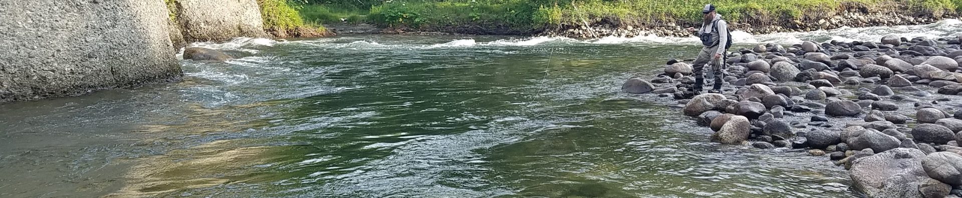
We got to fish the Fork on low water for a couple of hours Wednesday and Thursday at the handicapped access did real good. Bro got a sweet bow about 16 or 17 inches long and almost that round. Saturday I fished the dam area and it was a bit slow water came on about 8 a.m. and I had to head home.
The Fork has really changed. We ran from the confluence to the dam one day and it was unreal. The lower part was nor affected nearly as much as up river. The handicap access area is way different. The channel runs almost entirely against the far (south) bank and the gravel bars extends father down steam on the north side. We didn’t see Charlie’s at low water but a number of the trees on the island are gone. The only thing we saw at Mc’s was the old restroom The trailers and stuff by the river were gone. Our favorite place to fish just below the Long Hole seems to have changed also the gravel bar seems to be a lot smaller and the hole deeper, didn’t get to se it a low water either so maybe not. The Long Hole looked pretty much the same but above it were some big differences, trees in the river, a huge sand and gravel bar at the new development and up almost to Gene’s. The parking lot at the dam is all gravel no blacktop, the new boat ramp looks to be in good shape. The trees just below the ramp are gone and unless you can access downstream from across the river (south side) you only thought getting through the first “shoal” was hard. DRC no longer flows to the boat ramp but goes straight across the river to the south bank. It will be interesting to see how everything works out.
Well we had a great time and look forward, as always, to our next trip.
Doug

You have done it once more! Incredible writing.